
- Picnic areas
- »

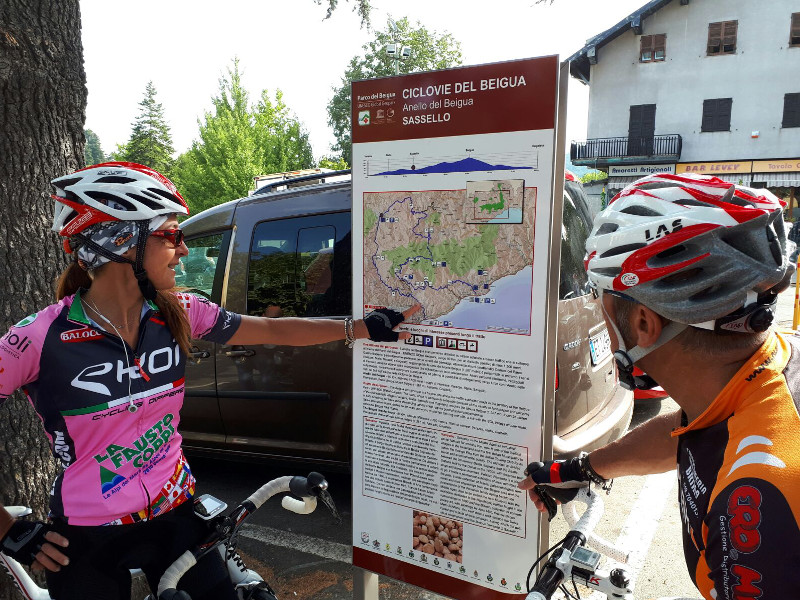
A bicycle ride along low-traffic asphalted roads in the territory of the Beigua Park - UNESCO Global Geopark. The route, which is particularly enjoyable because of the variety of landscapes and because of the characteristic villages (Varazze, Stella, Sassello and Cogoleto), reaches the Mount Beigua (1.287 mt).

 Download KMZ
  Download GPX
It can be ridden in both directions but have some demanding uphills which require good physical preparedness. Some alternative routes, dotted on the map, allow you to shorten this ring and offer a link with the SOL Valleys circular route, within the Beigua Bike Routes.
Sites of interest: Varazze, Stella, Sassello, Piampaludo, Pratorotondo, Monte Beigua (1.287 m), Alpicella, Cogoleto.